2 devlogs
10h 26m 53s
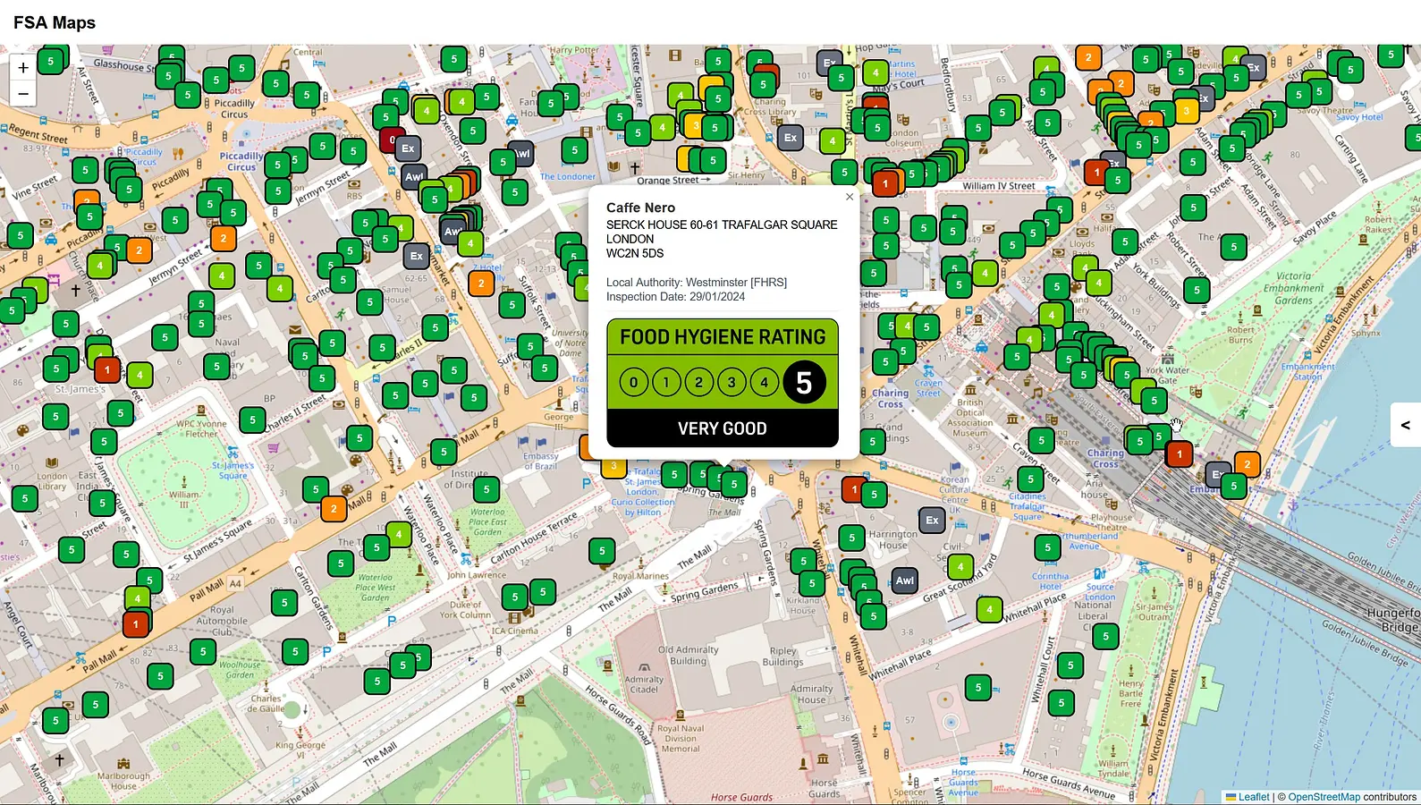
An interactive map that uses data provided by the Foods Standard Agency UK to display data of all registered FHRS businesses under both FHRS (England, Wales, Northern Ireland) and FHIS (Scotland) schemes, including Hygiene rating, address (and DD …
An interactive map that uses data provided by the Foods Standard Agency UK to display data of all registered FHRS businesses under both FHRS (England, Wales, Northern Ireland) and FHIS (Scotland) schemes, including Hygiene rating, address (and DD coordinates if supplied)

